

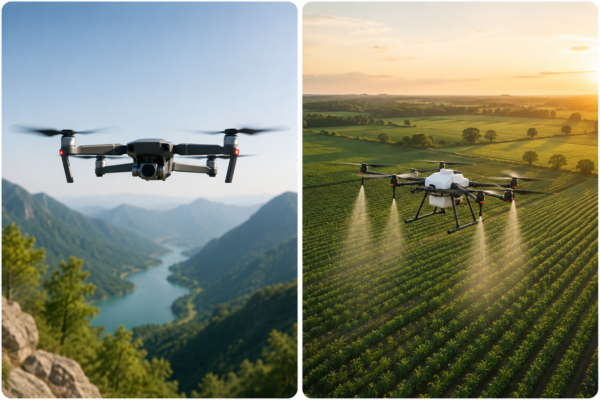
Civil UAV projects often begin with a simple question: which drone should be used for the job? In practice, the better starting point is the work result the team needs to produce. A mapping team may need an orthomosaic, terrain model, or asset record. An inspection team may need repeatable images of roofs, towers, roads, solar farms, pipelines, construction sites, or industrial equipment. An agricultural team may need field scouting, spraying support, crop monitoring, or operational documentation.
Once the workflow is clear, UAV selection becomes easier and safer. Platform type, payload, endurance, communication range, field access, maintenance planning, and data quality should all be considered before the aircraft is sent to the site.
Start with the Field Workflow
For civil mapping and inspection, the aircraft is only one part of the system. The team should first define the target area, required deliverable, site constraints, data resolution, expected operating time, and any safety or regulatory limitations. A UAV that is suitable for a short visual inspection may not be the best choice for a wide-area mapping project. A platform built for endurance may not be ideal when the work needs close-range maneuvering around structures.
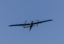
Multirotor UAVs are often useful for vertical takeoff, close inspection, and flexible positioning. Fixed-wing and VTOL UAVs can be stronger choices for larger areas where endurance, coverage, and efficient flight paths matter. Tethered UAVs may fit stationary monitoring tasks where persistent aerial observation is more important than mobility. The correct choice depends on the mission rather than on a single specification.
Payload Weight and Power Budget
Payload selection affects flight time, stability, and operational safety. Cameras, gimbals, mapping sensors, lighting modules, communication equipment, and special-purpose payloads all add weight and power demand. If a payload is close to the aircraft’s practical limit, flight endurance can drop quickly and handling may become less stable in wind or high-temperature conditions.
Teams should check the full payload configuration before the field day. That includes the sensor, mounting hardware, cables, batteries, data storage, protective covers, and any accessories needed for transport or calibration. Small components can be easy to overlook, but they can affect balance, reliability, and setup time.
Communication Range and Field Conditions
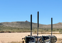
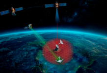
Communication range should be evaluated in the real operating environment, not only by reading the maximum range in a product sheet. Terrain, buildings, trees, radio interference, weather, and line-of-sight limitations can all reduce practical performance. For infrastructure inspection, the site itself may block or reflect signals. For agricultural or remote-area work, distance and local conditions may be more important.
A practical plan should include takeoff and landing areas, emergency landing options, battery return margins, crew communication, and a clear process for pausing the mission if conditions change. Conservative planning usually produces better data and fewer interruptions.
Data Quality Starts Before Flight
Useful UAV data is created before the first image is captured. For mapping, the team should plan altitude, image overlap, ground control or reference points when needed, camera angle, lighting conditions, and file naming. For inspection, the team should define which assets or areas must be recorded, what image angles are needed, and how close the aircraft can safely operate.
Field teams should also review data before leaving the site. Blurry images, missing sections, wrong exposure, insufficient overlap, or incomplete inspection angles are much easier to fix while the crew is still on location. A short field checklist can prevent expensive return visits.
Maintenance and Spare Parts
Reliable UAV operation depends on routine maintenance. Propellers, motors, arms, landing gear, batteries, connectors, payload mounts, pumps, nozzles, cables, and communication modules should be checked regularly. For B2B users, spare parts availability is not just a repair issue; it affects project scheduling and customer service.
Teams that operate drones commercially should maintain a simple replacement plan. Critical parts should be available before the busy season or before a large project begins. Maintenance logs, battery records, and preflight inspections help teams detect problems before they become field failures.
Practical Civil-Use Limits
UAVs can improve efficiency, reduce unnecessary climbing or manual access, and help teams collect repeatable data. They do not remove the need for trained operators, local compliance, qualified inspection judgment, or careful safety planning. A UAV image can support a maintenance decision, but it should not be presented as proof of a condition that requires direct inspection, testing, or professional certification.
For this reason, civil UAV programs should use conservative claims. The most useful UAV projects are not built around hype. They are built around a clear operational problem, a suitable aircraft and payload, a safe flight plan, and a realistic understanding of what the data can and cannot show.
A Simple Pre-Project Checklist
Before choosing the UAV platform, teams can ask:
1. What deliverable is required after the flight?
2. What area, distance, height, or asset type must be covered?
3. Which payload is needed, and how does it affect endurance?
4. What communication and line-of-sight limits exist at the site?
5. What weather and field-access constraints are likely?
6. What spare parts, batteries, and maintenance checks are required?
7. How will data quality be checked before the team leaves the site?
8. Which local rules, permissions, and safety procedures apply?
This checklist helps teams select UAV systems based on real field work instead of isolated technical specifications. For mapping, inspection, agriculture, logistics support, and public-safety workflows, that practical approach is often the difference between a useful UAV program and a difficult one.